Google Maps is about to get even better — especially if you use iPhone
Google Maps is making some changes, and iPhone users get a bunch more
Update: Google Maps has finally added toll pricing in key regions — here's what you need to know
Nothing is ever final at Google Maps, and no matter how many new features or improvements come to the app there are always more around the corner. A few more upgrades are on the way, including new mobile design and iOS-exclusive features for those of you rocking an Apple phone.
The first feature of note is one that was actually revealed last year, and adds yet another Waze feature to the Google Maps lineup. Now, rather than just telling you that a particular route has tolls, Google Maps is able to tell you how much those tolls will cost.
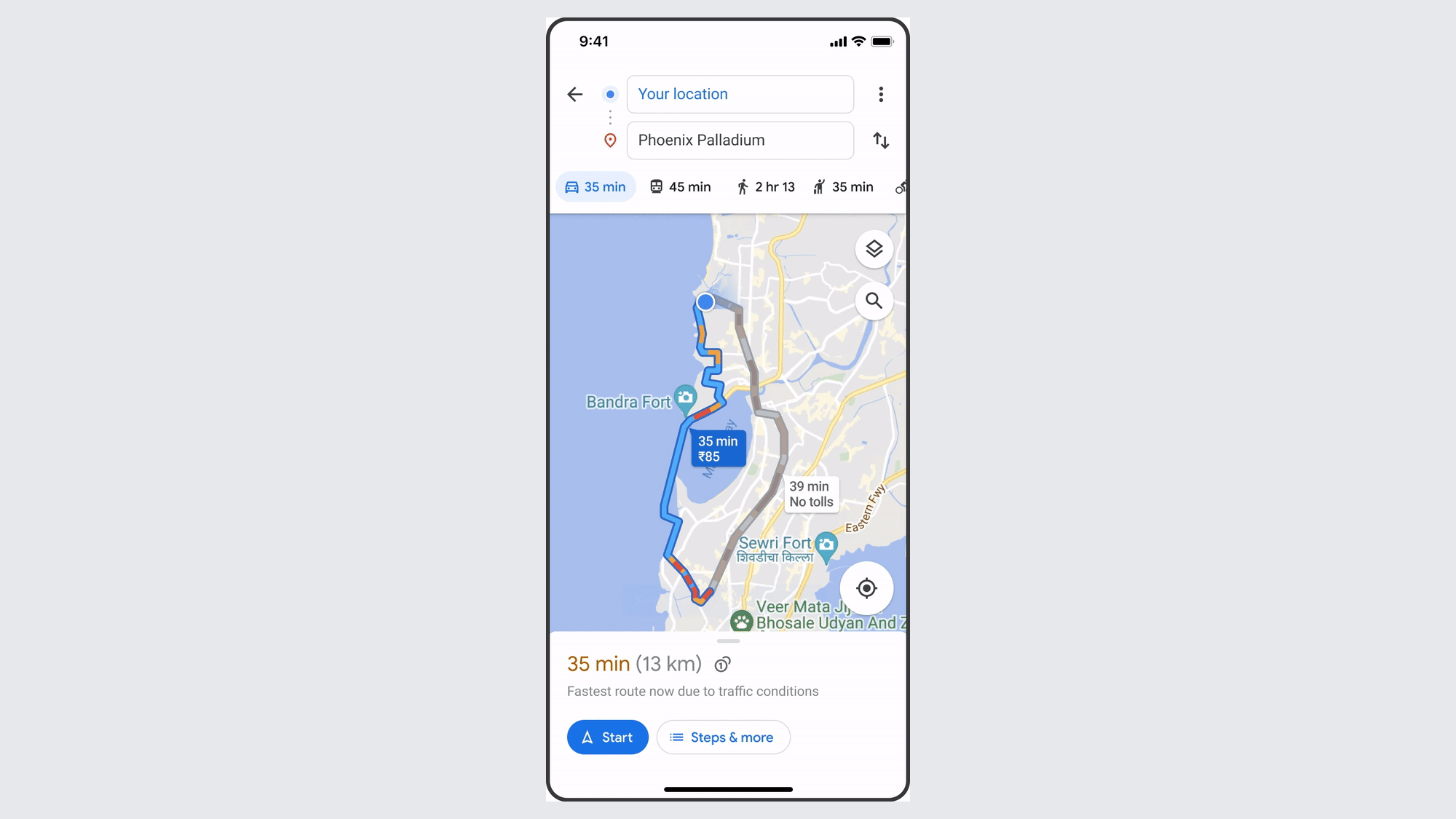
Using information from toll providers, and taking into account the day and time you’ll get there, Google can tell you all this before you start navigating. As ever, Google will still offer a toll-free alternative when it’s available, and you can tell the app to avoid tolls by tapping the three dot menu in the top right and toggling Avoid Tolls.
Toll pricing will be rolling out to Android and iOS this month, starting in the U.S., India, Japan and Indonesia.
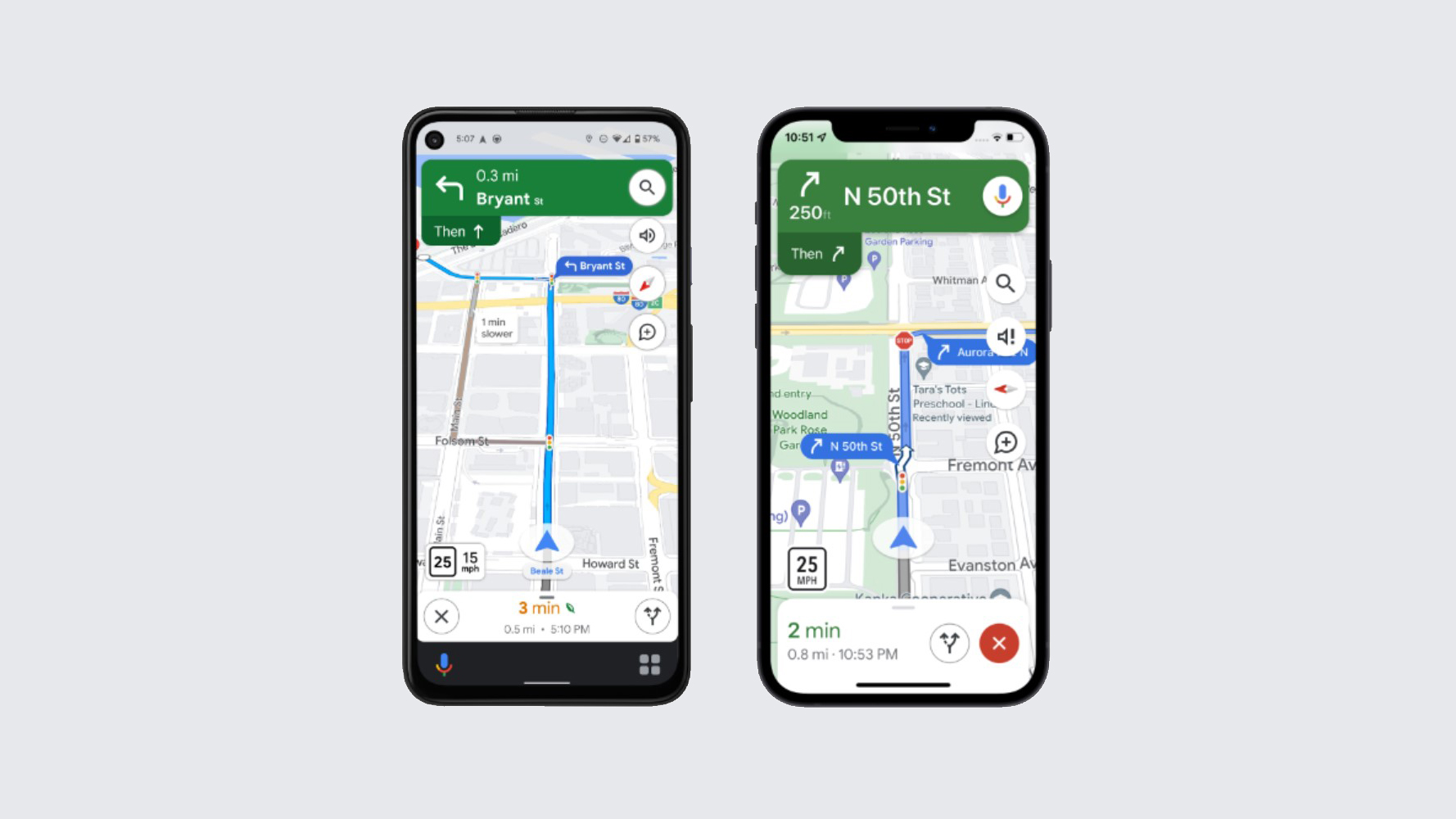
Google Maps' design will also be changing over the coming week, in “select countries.” Put simply, Google is going to be adding a smorgasbord of extra details to maps on all platforms to try and make driving in unfamiliar places less stressful. And by all platforms Google means Android, iOS, Android Auto and Apple CarPlay.
These details include things as simple as traffic lights and stop signs, as well as building outlines and other areas of interest. Key cities will also get more than that, with Maps showing you the shape and width of the road, any medians or islands in the way, and other details to help you figure out what’s coming and where your car needs to be.
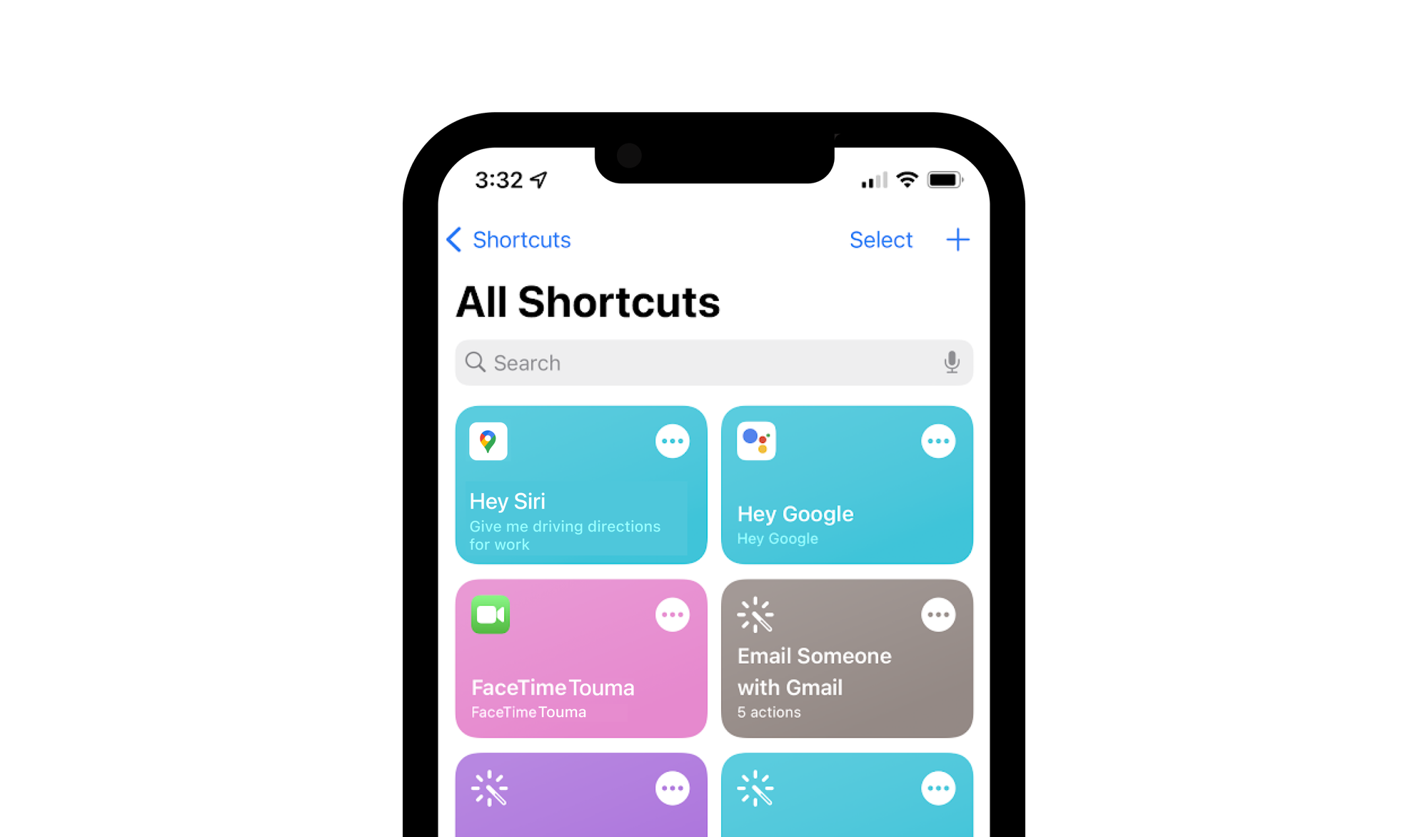
Finally iOS users are going to be able to enjoy a bunch of extra stuff. This includes the ability to navigate from an Apple Watch, plus direct integration with Siri, Spotlight and the Shortcuts app.
Get instant access to breaking news, the hottest reviews, great deals and helpful tips.
Siri does already work with Google Maps, provided you specify you want to use Google Maps rather than Apple Maps. The specifics of the improvement haven’t been fully detailed. But by bringing Shortcuts into the mix, it should make it a tad easier to use Siri and Google Maps together.
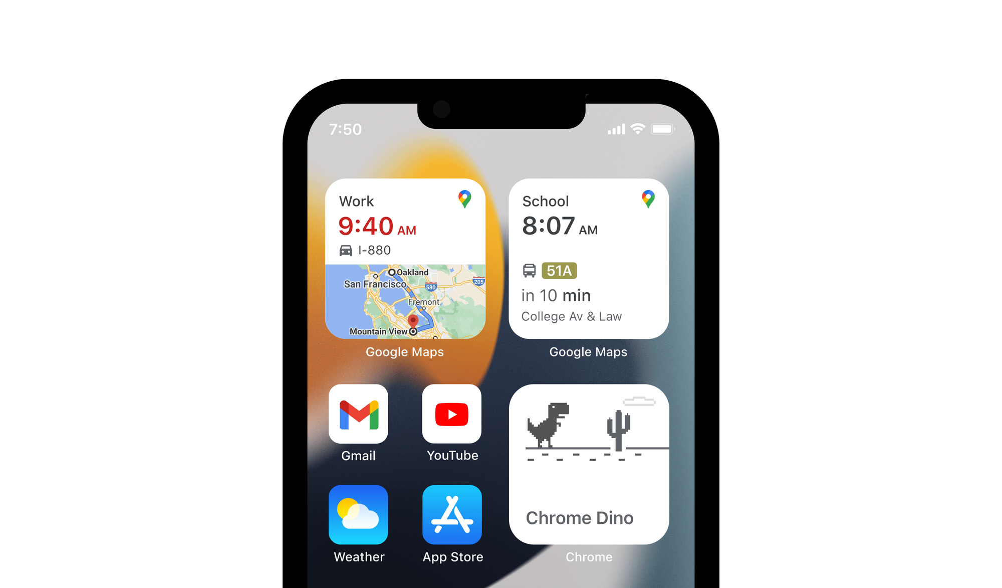
A couple of changes to widgets are coming as well, including a new “Pinned Trip” widget. That name is fairly self-explanatory, letting you see important details about any journeys you previously pinned to the ‘Go’ tab on your home screen. The Google Maps search widget is shrinking too, giving you more space to have other stuff.
All these iOS updates are rolling out now, so make sure to keep your Google Maps app up to date.

Tom is the Tom's Guide's UK Phones Editor, tackling the latest smartphone news and vocally expressing his opinions about upcoming features or changes. It's long way from his days as editor of Gizmodo UK, when pretty much everything was on the table. He’s usually found trying to squeeze another giant Lego set onto the shelf, draining very large cups of coffee, or complaining about how terrible his Smart TV is.
 Club Benefits


